A Smoky Summit on Mount Clements
The West Ridge and summit of Clements Mountain have been on my bucket list for a while, and with the Sun Road closure happening soon, an attempt before it was too late seemed realistic.
My partner for this climb was Hunter D’Antuono, who works at a fellow newspaper and got me my first job in the Valley. We had talked about this mountain before and were eager to have a go at it.
Mount Clements was first climbed August 13, 1923 by Norman Clyde (before the Sun Road existed) and named after Walter M. Clements, who negotiated a deal with the Blackfeet Tribe to purchase the land that is now the eastern part of Glacier National Park. Several other climbers routes go up the mountain on the North and East faces of the peak.
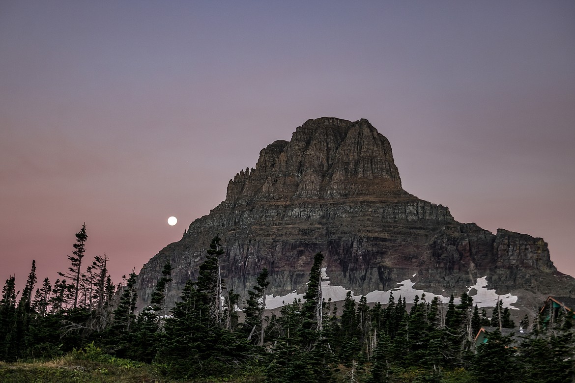
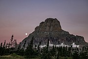
It all started out clear, a red painted sky and full moon set behind the large peak on the morning of Sept. 11. Clements and Reynolds Mountain are the two most prominent peaks from the Logan Pass Visitor Center, and both beg to be climbed. Summer time, sometimes late summer is the best season for this feat, as ice and snow can be quite troubling on the skinny goat trails that guard the mountain summit.
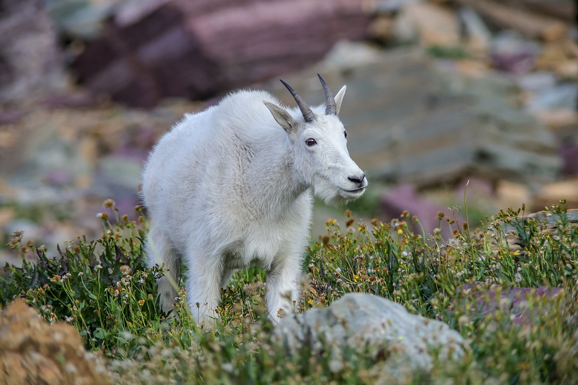
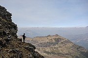
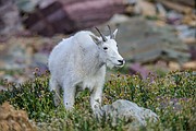
A group of mountain goats meandered past us near the Hidden Lake overlook as the sun came up over the ridge in the morning light. To gain the west ridge, a small trail that shoots straight up can be seen from the overlook. From here, cairns and footprints lead the way up several chutes that end just below the ridge. After traversing the ridge for about a mile on loose rock, we reached a plateau, where we looked for the goat trail that jumps onto the north side, but missed it and ended up on the false summit of Clements, which added time and had a couple less than comfortable moments as we made our way back to the known trail.
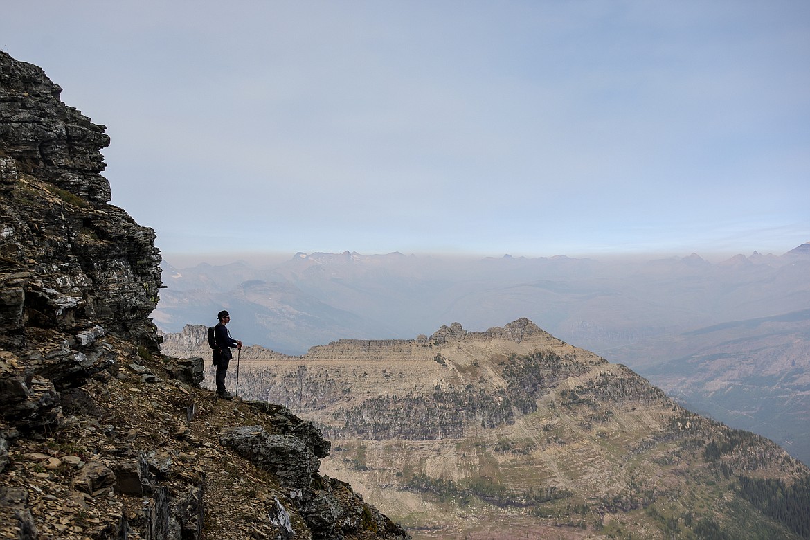
I was surprised while hiking the north side goat trail by how comfortable it was walking on. Not to be mistaken as easy, the exposure is rather dramatic along the thin trail, but the footing felt more stable than other parts of the approach that fell in the “don’t fall here” category.
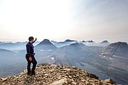
Once finishing this traverse, a strong wind was felt out of the south, and to our dismay, a massive wall of smoke was heading right at us. Not ideal for climbing a mountain since we were well above 8,000 feet at this point and already breathing hard. We forged on.
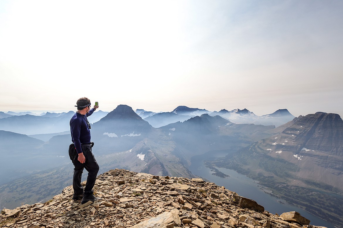
The summit was not far off, a few switchbacks up some scree and the hike was at its apex. With a celebratory beer that Hunter carried up with him (I opted for the camera), we cheered to the peaks around us and looked down over 2,000 feet to the bustling parking area and hordes of hikers headed our way.
The summit celebration was short lived, as the distance between us and the smoke was shrinking, but we managed down the ridge with little trouble to the overlook and back to the car.
In total, the Passmore guide says the hike is four and a half miles one way, nine round trip. With our hike up the false summit, we added about a mile to this for a total six hours of hiking.


