Brutal cold Thursday, then chance of rain by Saturday
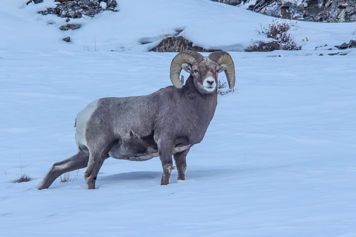
A ram plows through a snowfield in East Glacier National Park. (JP Edge photo)
The region is expected to see a blast of arctic air Thursday morning that could be the coldest we’ve seen in 40 years, or perhaps, ever.
A snowstorm already brought temperatures a few degrees below zero Monday with a brisk wind and about 6 inches of snow in Columbia Falls. Another winter storm was rolling through through Tuesday into Wednesday with cold that is expected to swoop down the divide all the way from Siberia, the National Weather Service is predicting.
Tuesday was seeing heavy snow in Columbia Falls with temperatures in the single digits.
In 1983, temperatures dropped about 18 below zero on Christmas Eve and colder to the north.
This time around, it could drop to as low at 32 below in Kalispell and 35 below in West Glacier,
Polebridge could drop to 41 below. The all-time record is 48 below.
The coldest temperature ever recorded in Kalispell was 38 below on Jan. 31 in 1950.
Thursday’s weather, particularly if it's clear and calm, could break that.
Wind chills along the Continental Divide could dip to lower than 50 below.
The Weather Service is urging folks to be prepared — wear multiple layers of clothes and protect exposed skin. Travelers should also have an emergency kit in their vehicle, with extra coast, clothes, food and water.
The weather is expected to moderate significantly by Christmas weekend, however. With highs in the 20s by Saturday and Sunday with a chance of snow and even freezing rain each day into Monday.