Study: Popular trails in Glacier see use rise as much as 80 percent
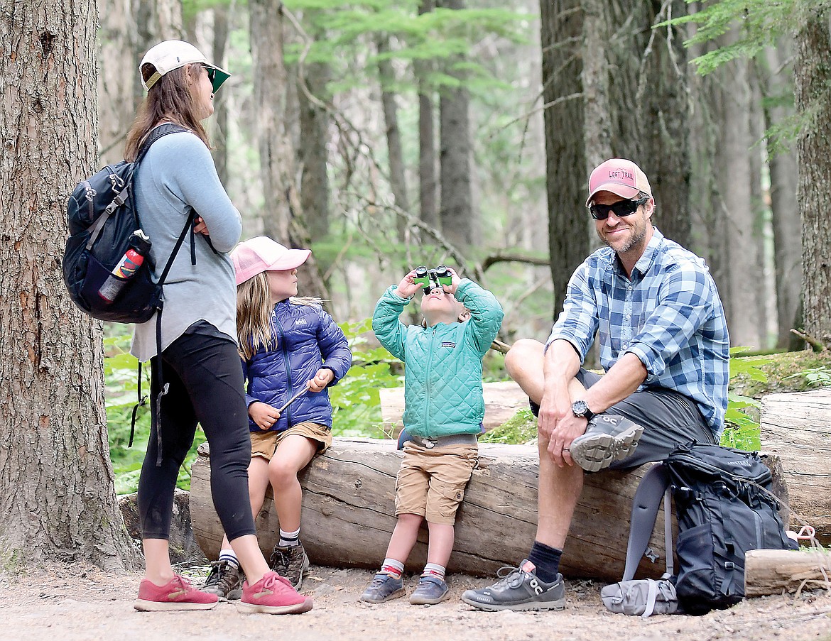
A family takes a break along the Avalanche Lake Trail in this file photo from last summer. (Teresa Byrd photo)
An ongoing study of trail use in Glacier National Park is putting hard numbers to usage of some of the Park’s most popular trails as another busy tourist season rapidly approaches.
Compared to data collected in 2012, visitation to Avalanche Lake increased about 80%, from 864 visitors a day in 2012 to 1,572 in 2019 — the last year Glacier Park was fully open.
Avalanche is the second busiest trail in the Park.
The busiest trail in Glacier — the Hidden Lake Overlook Trail at Logan Pass — saw an average of 1,891 visitors daily in 2019. In 2012 it saw 1,145. That’s about a 65% increase.
The averages are only for the months of July and August.
But Glacier has about 730 miles of trails and many see far less people. If folks are willing to get off the proverbial “beaten path,” they’ll find far fewer people.
The Bowman Lake Trail, for example, saw about 38 visitors a day in 2017. In 2019, about 53 on average. Still, that’s an increase of 41%, the study found.
Some trails actually went down in use. The Red Eagle Lake Trail near St. Mary, for example, dropped from an average of 19 in 2012 to 17 in 2018.
The study is being done by the University of Montana’s School of Forestry. It uses infrared counters to count people as they walk by the sensor.
Jaclyn Rushing, a doctorate student with the University of Montana’s School of Forestry is working on the study. She was also a former Glacier Park interpretative ranger for several years.
She noted that anecdotally, it appears that social media and other mass media is driving the popularity of some trails. She said next year researchers will actually try to quantify that data by interviewing people as they use the trails.
The popular trails have something in common: They’re relatively short and have views of the peaks.
The longer, steeper, trails, or those without views, are less popular.
Overall, Glacier has seen a 40% increase in visitor use since 2012, the study notes.
“The data show where, when and how many people are hiking on the trails throughout the park. This allows managers to know if there are any shifts in hiker patterns on trails, and to make science-based decisions to protect for a range of opportunities: from very popular areas with many people and amenities to areas where visitors can experience more solitude. Managing for this range of opportunities also ensures quality visitor experience and protection of resources,” a website on the study notes.
Case in point: Glacier
has implemented a ticketed reservation system for the Going-to-the-Sun Road corridor this summer, which looks to roughly cap the number of vehicles on the road daily at about 4,600 vehicles.
How that impacts visitor use and trail use will be interesting to see, Rushing notes.
“We’ll be looking for trends that are different (than past years),” Rushing said.
With some folks not being able to get on the Sun Road during peak hours, will there be an increase in early traffic? Late traffic? Will other areas see increased popularity, like Two Medicine, which historically has been a quieter part of the park — it’s simply not known yet — Rushing noted.
She said researchers will be actively monitoring traffic and parking for the Park Service, both on the Sun Road and off of it.
One thing’s for certain — getting around promises to be more difficult for travelers on both sides of Glacier.
This year construction is underway for Highway 2 outside of Glacier, and inside the park the Camas Road will see construction starting in June.
Also Highway 89 on the east side is under construction as well as part of an ongoing project.
Last year Glacier had to turn visitors away more than 20 times because of congestion on the Sun Road and over Labor Day weekend, traffic backed up for miles.
It’s trying to avoid that this year.
The full trails map is available at: https://umontana.maps.arcgis.com/ home/index.html. Search for Glacier National Park on the site and then click on the map.