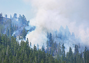
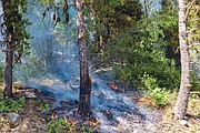
On the lines of the Hay Creek fire
Crews were working on containment lines on the Hay Creek Fire Wednesday, cutting fuel breaks, soaking down duff with hose lines and setting small burnouts in pockets of unburned fuel on the fire’s south flanks.
Fire managers hope to keep the fire north of the Hay Creek Road, explained Lincoln Chute, fire service area manager for the Flathead County Office of Emergency Services.
The fire has already burned down to the road in some places. Fire managers want to ease the fire down to the road, which gives them a black line of control.
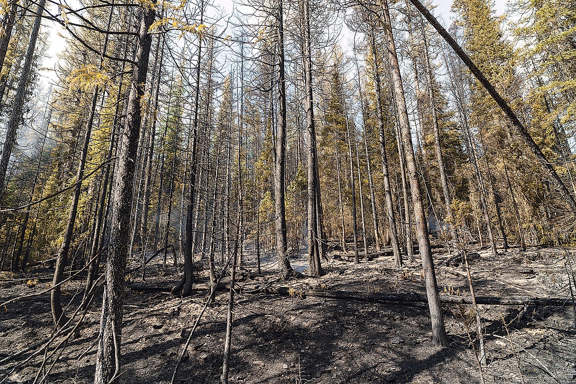
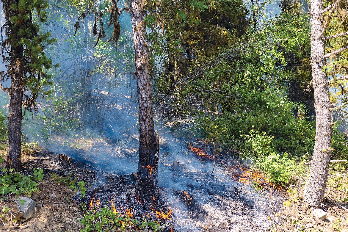
Much of the fire on Wednesday was ground fire, with the occasional tree torching. That allowed firefighters to do a lot of work, as the humidity was higher — about 40% — and the danger of a crown run was much lower.
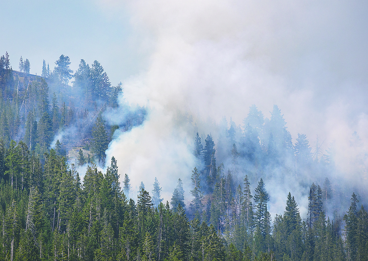
The hope is to keep it from spotting onto Moran Mountain, which is just south of Hay Creek. Moran’s north slope is primarily spruce and subalpine fir and the ridgeline is dead whitebark pine — a tinderbox of fuels. Moran also has no roads on its north face, so containing it there would be almost impossible.
The fire right now is burning in very steep terrain, where the slopes range from 50 degrees to nearly vertical in some places. Firefighters can’t safely do a direct attack on the blaze, so they’ve been cutting containment lines and shaded fuel breaks on its flanks.
A shaded fuel break is where crews come in with logging equipment and thin the trees, typically leaving fire-resistant species like Douglas fir and larch.
As long as the fire doesn’t get into the crown, it drops down to the ground where it can be more easily contained. The shade comes from the branches of the trees above the fire. Larch and fir, being a fire resistant species, can often survive a ground fire.
The result in the following years is a park-like forest, with mature trees above and willows and rocky mountain maple below, ideal habitat for elk, deer and moose.
There’s already breaks along the Spruce Creek Road that were put in 2018 as well as thinning done in recent timber sales as part of the Red Whale project. Spruce Creek Road runs the length of the fire’s east flank. The fire is still a few miles from that road.
More shaded fuel breaks were going in along the Red Meadow Road and the Hay Creek Road. The logs will be stored further north and eventually sold.
There is plenty of concern with this fire. There are about 190 homes in the potential path of the blaze to the north, where prevailing southwest winds would blow it should they come. In addition, each house has two to three outbuildings, Chute noted.
Chute has been meeting with homeowners daily and working on refining the evacuation plan.
Most of those homes are in the old Red Bench burn from 1988, where the forest is dominated by lodgepole pine. Many homeowners have thinned the trees near their homes, but others have done nothing, clearing the land just enough to build a cabin.
The lodgepole pine on some private lands is so thick it’s “doghair” and could go up in an inferno if conditions are right.
Ground fuels are also extremely dry. With no rain in July, the dead timber is 9% to 14% moisture, Chute said. By comparison, a 2-by-4 stud that comes out of a kiln is about 19%. The leg of a kitchen table about 4%, Chute noted.
So unless there’s significant rain, the Hay Creek Fire is not going to go out. There is growing chance of showers and thunderstorms Sunday into Monday. But thunderstorms also bring more lightning — and more fires — if it doesn’t rain enough.
Between now and then temperatures are expected to be in the mid to upper 90s each day.
The fire is currently being managed by a Type III team made up of local agencies where people have worked together before and know each other under incident commander Dave Poukish.
It will transition to a Type II team out of California on Sunday.
All told, about 140 people are working on the fire, with some crews from as far away as Iowa.
A community meeting is planned for Friday at 6 p.m. at Sondreson Hall up the North Fork.
The fire is listed at just over 2,000 acres and is about 4-5 miles northwest of Polebridge.


