Wintry blast on its way
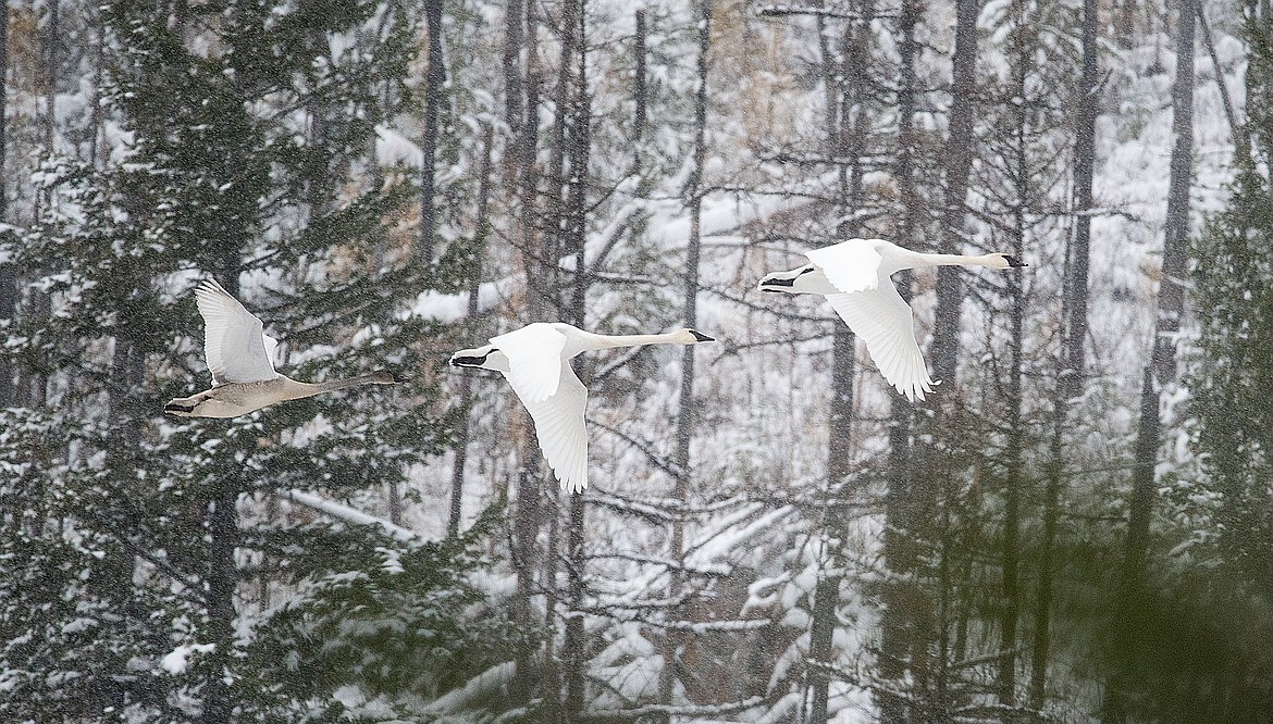
Trumpeter swans fly through the snow in Glacier National Park.
The honeymoon is over.
The mild winter we’ve had so far will come to a screeching halt this weekend, as a series of arctic blasts are expected to usher in cold air and snow starting Friday night through the weekend.
Thursday will see light snow, but Friday evening an arctic front is expected to cross the divide with east winds and snow. It will then recede a bit on Saturday, which should mean even more snow and then reinforce back over the area on Saturday night into Sunday morning.
Places like the Bad Rock Canyon could see whiteout conditions Saturday night and Sunday morning with wind gusts about 50 mph from the east, National Weather Service meteorologist Corby Dickerson said.
Temperatures will plummet, with lows dipping below zero and highs struggling to get into the teens.
Total snowfall could be 6 to 10 inches in the valleys, though that scenario is trending upward in the models.
The cold air could moderate by the middle of next week, with highs back in the 20s, though some models are hinting at a reinforcing shot of cold air.
Eastern Montana will see even colder temperatures, with lows 30 to 40 below zero and high winds.
The area is still cleaning up trees from a previous windstorm last month.
January in Kalispell was the seventh warmest on record, with just 5 inches of snow, though total precipitation was 1.39 inches, which is just above the average. It just fell as rain.