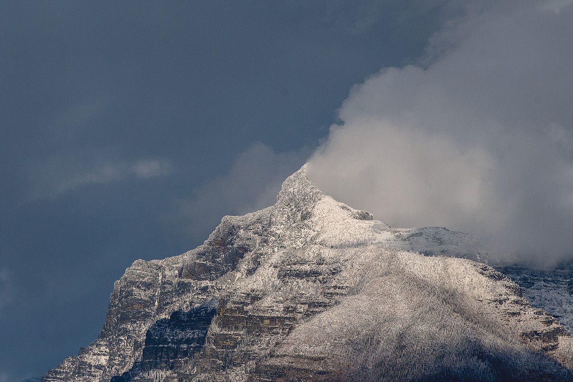
Return to winter on its way
A second winter storm of the early season is expected starting Friday, with Marias Pass expected to get the most snow, the National Weather Service in Missoula is saying.
Marias should see snow most of the day on Friday into the weekend with possibly a foot or more.
Snow won’t make it the valley floor, however, until later Saturday, with about 1 to 3 inches, though gusty winds can be expected in places like the Bad Rock Canyon.
We could also see some freezing rain Saturday.
Temperatures will also plummet, with highs by Sunday in the high teens to mid-20s and lows Sunday night in the single digits to low teens.
Another round of light snow is expected Tuesday into Wednesday, with highs in the 20s to low 30s Tuesday and only the 20s Wednesday.
The longterm forecast is calling for a cold and snowy regime for the next 6 to 10 days.

